Welcome To The
Sliabh Liag Cliffs
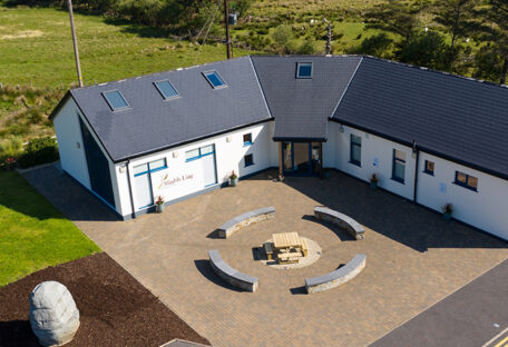
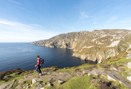
Don’t miss your opportunity to visit one of Ireland’s best kept secrets and a signature point on the Wild Atlantic Way. Located in the Southwest Donegal, along this magnificent coastal driving route are Ireland’s highest sea cliffs, Sliabh Liag.
Opening Times
-
Spring
An t-Earrach
March, April, May
Daily – 9.30am – 5.00pm
Cliffs are open all the time but a parking fee of €5 per car applies at machines.
-
Summer
An Samhradh
June, July, August
Daily – 9.30am – 5.00pm
Cliffs are open all the time but a parking fee of €5 per car applies at machines.
-
Autumn
An Fómhar
September, October, November
Daily – 9.30am – 5.00pm
Cliffs are open all the time but a parking fee of €5 per car applies at machines.
-
Winter
An Gheimhreadh
Closed
Cliffs are open all the time but a parking fee of €5 per car applies at machines.
Coastal escapes
Discover Extraordinary Sliabh Liag
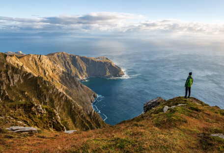
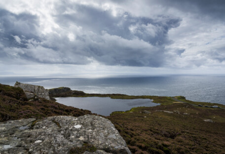
Hike to the top of the Sliabh Liag (Slieve League) cliffs on the south west coast of County Donegal and marvel at the terrific views of the Atlantic Ocean, the Sligo Mountains and Donegal Bay.
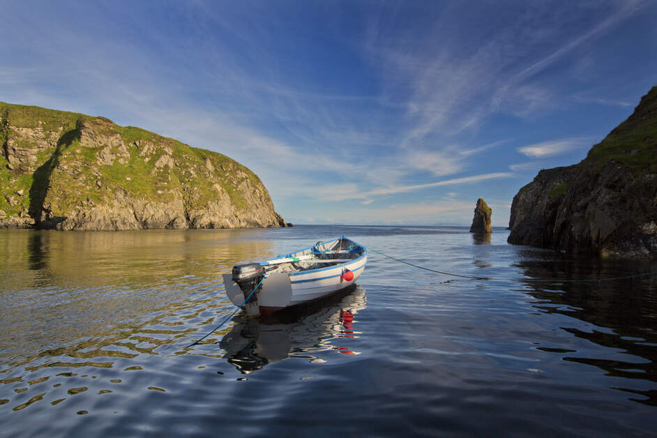
Glencolumbkille
A serene, picturesque village, known for its rugged coastal scenery, rich Gaelic traditions, and tranquil, unspoiled natural beauty.
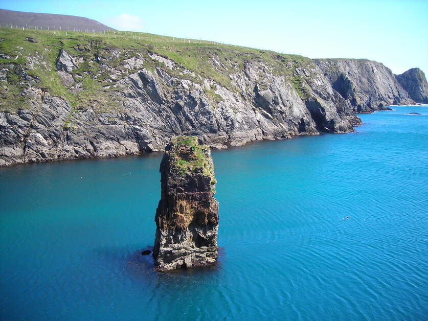
Malin Beag
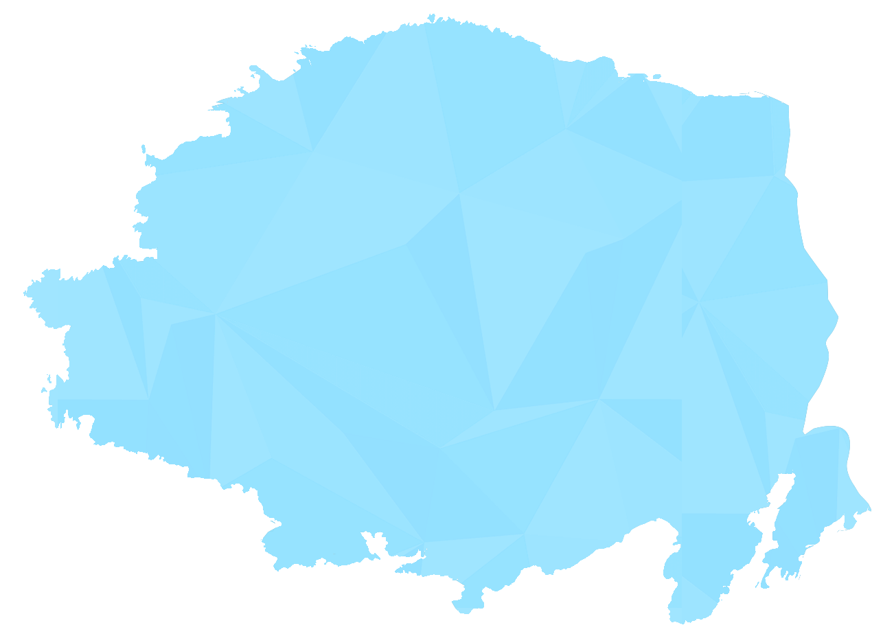
The village of Malin Beag is situated 17km from the Visitor Centre. It was previously well
known as a small fishing port, but now it is more famous for the spectacular Silver Strand
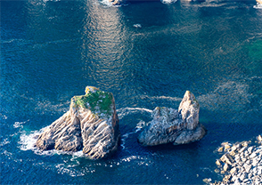
beach (Trá Ban). Just off the coast of Malin Beag is the island of Rathlin O’Birne, whose lighthouse has guided generations of fishermen and sailors to safety. Also situated in Malin Beag is a Martello Tower, a lookout and signal tower, built by the British in 1804 during the Napoleonic Wars Malin Beag is the most westerly point in the province of Ulster.
Sliabh Liag
The mountain of Sliabh Liag covers 5000 acres and stretches from Teileann all the way to
Malin Beag. The rocks that formed Sliabh Liag are 300 million years old and are part of the Dalradian supergroup.
Sliabh Liag rises to a height of 603m (1972ft), the highest point being the arete called the
One Man’s Pass. The mountain has many man-made additions that range from St Aodh Mac Bhricne’s church at the top of the Pilgrim’s Path, to a Martello Tower built by the British during the Napoleonic Wars and an EIRE sign which was constructed by the Irish
Government during the Second World War.
Teileann
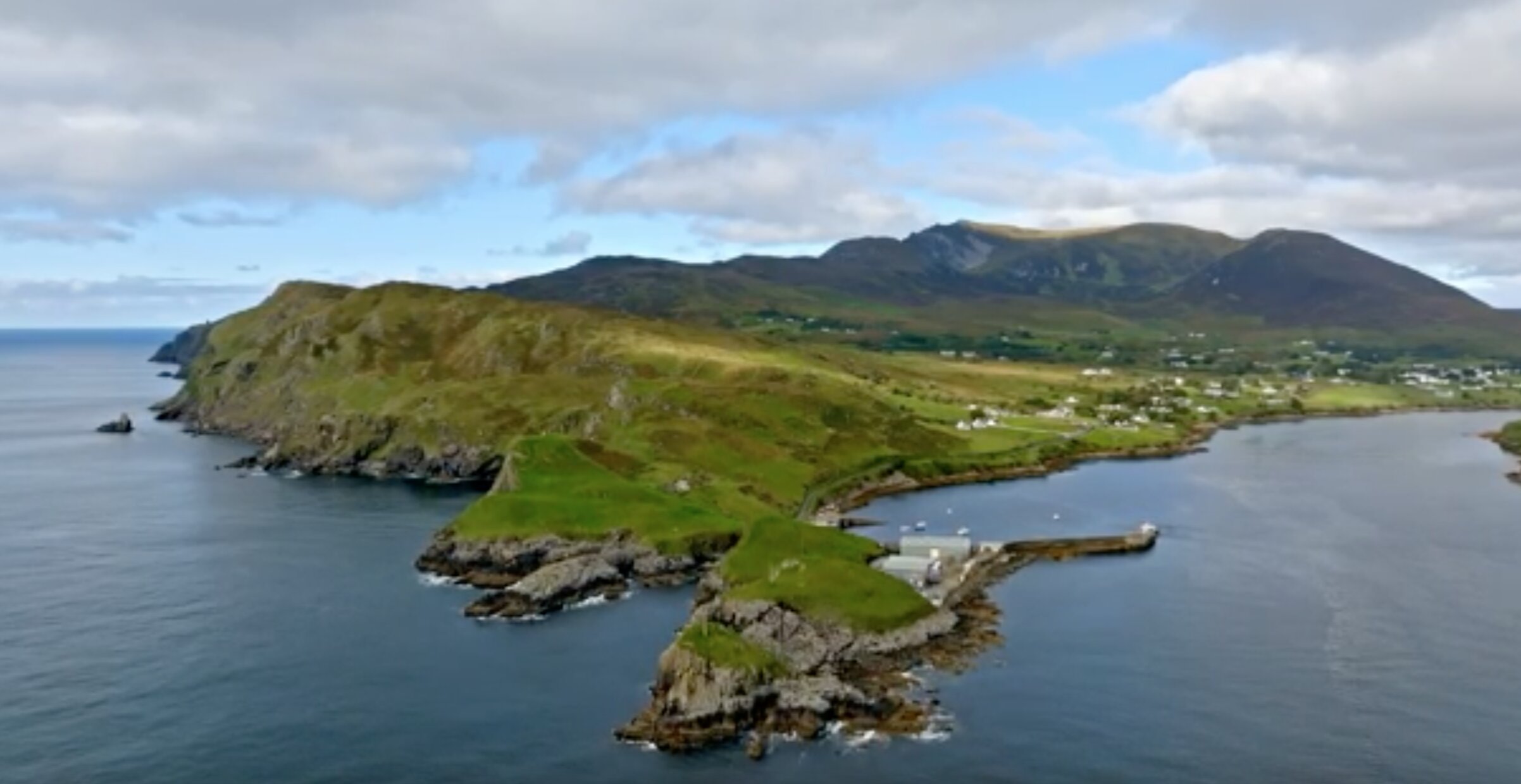
Teileann is a village situated at the foot of Sliabh Liag.
Up until the early 20th century it was the largest port in south west Donegal and indeed it
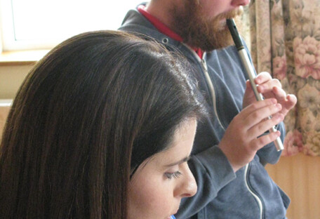
appears on some of the earliest maps of Ireland because of it’s importance. Teileann is also a hotbed of Irish Culture and Music, noted Folklorist Sean O’hEoicheadh and Master Fiddler Con Cassidy both hail from the area.
Kilcar
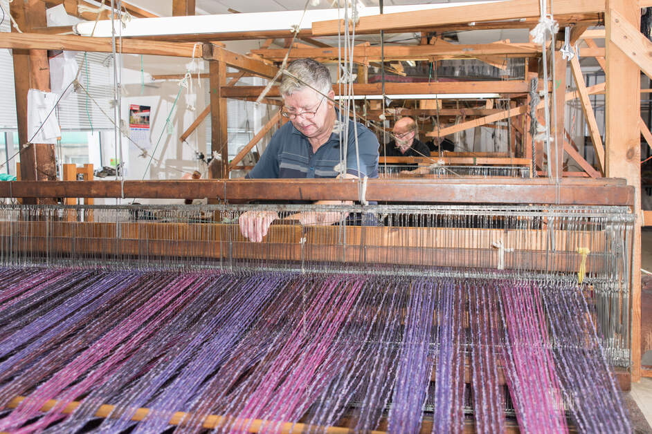
The village of Kilcar is 8km from the Visitor Centre. The name Kilcar comes from the Gaelic name Cill Chartha, St Chartha’s Church. It has long been associated with the weaving industry. The world renown Studio Donegal continues this proud tradition into the future. Kilcar is also home to the picturesque peninsula of Mucross Head,a Discovery Point on the Wild Atlantic Way, noted for it is unusual horizontally layered structure.
Get Inspired
Tour Highlights
Feeling inspired? Speak to one of our experts
Sliabh Liag Cliffs
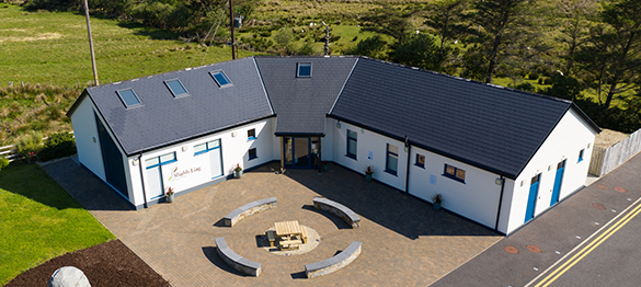
Cafe & Gift shop
Why not join us at our Cafe for a hot drink, yummy sandwich, warm food?
Our Cafe is renowned for its beautiful locally sourced produce.
VISIT US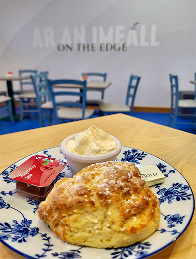

TESTIMONIALS
From our Visitors
What People Are Saying About Us!
Group Visit
Don’t miss your opportunity to visit one of Ireland’s best kept secrets and a signature point on the Wild Atlantic Way. Located in south West Donegal..

Bunglas Road, Lergadaghtan, Teelin, Co. Donegal, F94 W8KC, Ireland

